How To Monitor Tuscaloosa Traffic Conditions During Winter Storm
News
Tuscaloosa AL
15 February, 2021
11:42 AM
Description
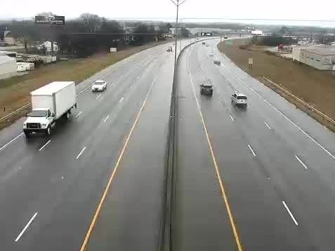
TUSCALOOSA, AL — Impacts to local traffic are expected as a massive winter storm moves over a large part of the country, with forecasts saying travel in Tuscaloosa County and the surrounding areas could be nearly impossible throughout Monday and into Tuesday. Click here to subscribe to our daily email newsletters and breaking news alerts delivered to your inbox and mobile devices for free. You can also support local journalism by donating as little as $5 a month to become a supporting member or by downloading our free Patch mobile app. Click here to access numerous Alabama Department of Transportation traffic cameras throughout Tuscaloosa to monitor conditions on the roadways. Updates are also posted regularly on Twitter through ALGO Tuscaloosa by visiting @algo_tusc and the Tuscaloosa County Emergency Management Agency at @TuscalooosaCoEMA. Rain showers are expected before 4 p.m. ahead of freezing rain becoming likely through the night. The temperature for Tuscaloosa, according to the latest forecast by the National Weather Service, will fall to around 30 by 5 p.m. The NWS anticipates a total daytime ice accumulation of less than a 0.1 of an inch for Tuscaloosa County. Follow Patch here for updates or on Facebook and Twitter.
Discussion
By posting you agree to the Terms and Privacy Policy.